Original price was: $24.95.$17.47Current price is: $17.47.
- Safe Payments, Happy Customers
- Top-Notch Quality
- The home of quality products.
- Free Shipping over $25

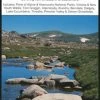
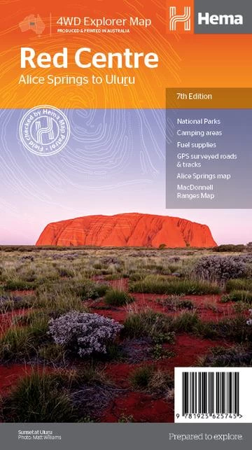
The Red Centre Map – 7th Edition
This regional waterproof map of the Red Centre is ideal for discovering the quintessentially Australian landscape of at the heat of the country. The main map covers the area around Alice Springs, including Uluru, Kata Tjuta, West MacDonnell Range and Watarrka National Park.
It also features additional information relating to permits, useful contacts and historical context surrounding some of the area’s most popular tourist destinations.
- GPS surveyed roads and tracks
- Fuel stops
- 4WD tracks
- Camping areas
- Historic sites
- Detailed inset maps
Be the first to review “Hema The Red Centre 7th Edition”
Related products

Bathroom Laundry Accessories

Bedding Accessories
Atlas Maps Guides Books DVDs
Bedding Accessories
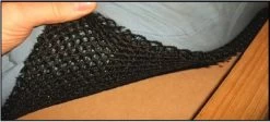
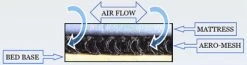
Aero Mesh Single C Mattress Underlay 2015 X 915mm 10mm Thick

Caravan Accessories

Caravan Accessories
Caravan Accessories
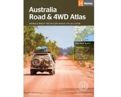
Atlas Maps Guides Books DVDs
Reviews
There are no reviews yet.